Results Announcement Event
On Monday, July 24, 2023, the final event for the presentation of the outcomes of the project BLUEL was held in the Conference & Cultural Center of the University of Patras.
Deputy Mayor of Patras N. Aspragathos, Deputy Regional Governor of Western Greece F. Zaimis, vice-Dean of the University of Patras V. Vassiliadis and Head of the Geology Department of the University of Patras P. Xipolias attended the event and addressed the participants with a welcome speech.
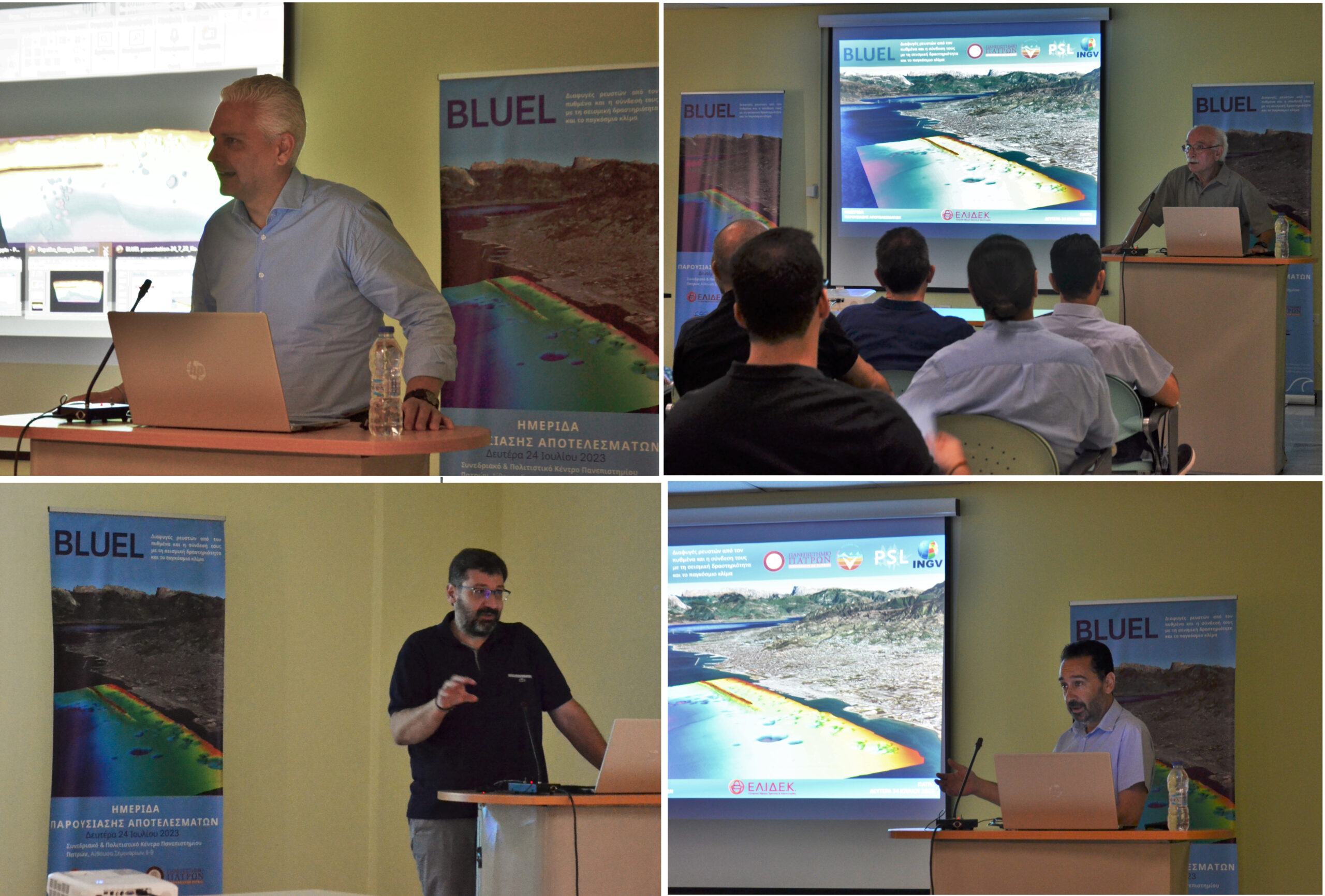
The first speaker was G. Papatheodorou, Professor at the Department of Geology, Scientific Manager of the program and head of Oceanus-Lab. The purpose of the program was the detailed mapping of the pockmark field of Patras, its long-term monitoring using an optical fiber with the aim of correlating the pockmarks with seismic activity and drawing conclusions about the contribution of the greenhouse effect to the pockmark field.
Mr. Papatheodorou gave a short introduction in relation to seabed-to-water column fluid flows and referred to recent discoveries (2021-2023) of such events made by Oceanus-Lab. According to Mr. Papatheodorou, the pockmarks at the port of Patras seem to have been active for several thousand years. A timeline of the lab’s research milestones was provided: The main ones were the discovery of the craters in the year 1993, the installation of an underwater observatory in 2004 and the earthquake of 2008.
As part of the BLUEL program, an optical fiber was placed near the Ag. Triada fault, reaching inside one of the pockmarks. The estimate of methane flux from the pockmark field into the atmosphere is close to 15 tons per year, which is not a negligible amount. From the 3D mapping, it appears that the jetty is crossed by the fault of Ag. Trinity and that it is built over a group of pockmarks, which are related to the faults in the area.
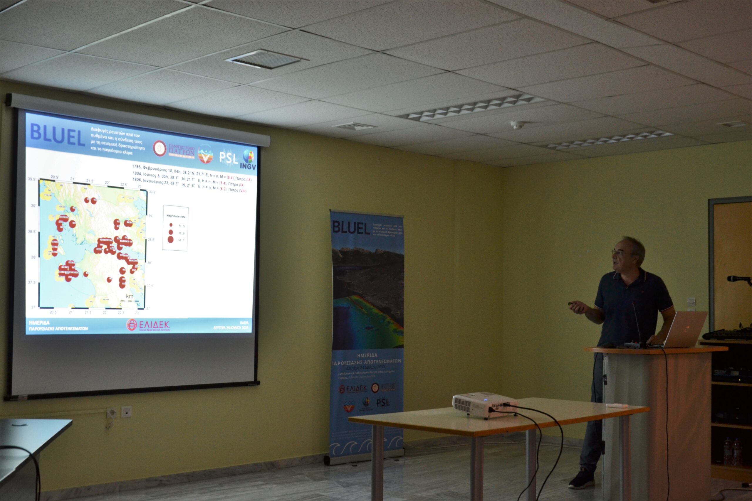
Afterwards, Mr. S. Kokkalas, professor at the Geology department, delved into the tectonics that acted in the field, listing the results regarding the neotectonic analysis and modern deformation. After an introduction to the tectonics of the wider region, Mr. Kokkalas mentioned that the pockmarks were activated during the 1993 earthquake, as well as during the 2008 earthquake and stated that “they are among the most impressive and well-recorded pockmarks in the international literature”.
The main faults that can be seen in the research area are that of Ag. Triada and 5 to 6 more, in parallel arrangement with the former, which create conjugate transfer zones of antithetic faults with overlaps, thus creating a subduction zone. These transfer zones are important for the trapping and flow of fluids. In the rift of Ag. Triada, the slip appears to be greater near the fault, as opposed to the more distant layers, and the displacement is differentiated along it. Anticlinal structure was also observed, as well as the merging of two faults into a larger one.
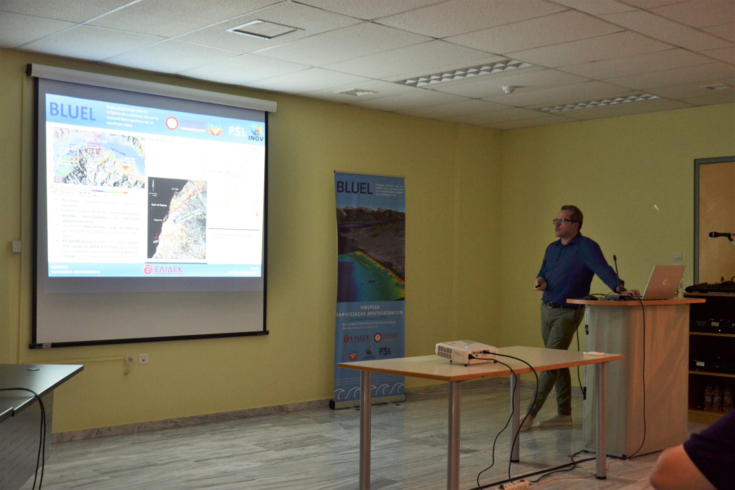
The pockmarks along the fault of Ag. Triada are located in a transition zone with overlaps between this fault and another and they are related to the flows of 1993, while in 2008 flows with a greater range were observed outside the Ag. Triada fault. Mr. Kokkalas mentioned that gas leaks of this type can be associated with such tectonic zones.
Later, Dr. D. Christodoulou, Research Assistant at the Department of Geology, after a brief review of the activity records of the crater field of Patras, made a detailed report on the equipment used, but also on the findings of the oceanographic surveys carried out by Oceanus – Lab. For the BLUEL program, a multibeam echosounder, a sub-bottom profiler, a side-scan sonar and an underwater vehicle were used to record the crater field in great detail for the first time.
Parallel and vertical tracks were made in order to cover a larger surface of the seabed. Multibeam sonar, sidescan sonar and sub-bottom profiler derived data were then processed to produce high-detail maps. The bathymetric map, created for the area, is the first in the literature with an accuracy of a few centimeters, while comparing it with the corresponding map from 1997, it was revealed that a part of the pockmark field has been covered.
Accordingly, the map of data from the sidescan sonar clearly rendered the morphology of the field. Linearity and sinking tendency of the pockmarks were observed. Specifically, straight layouts of pockmarks parallel to the fault of Ag. Triada, as well as groups of smaller pockmarks were seen above the rift.
Today, the existence of 115 pockmarks is known, while 23 of them have been buried under the jetty and embankments of the new port of Patras. Therefore, at depths between 10 and 50m, 92 bottom pockmarks are clearly visible and 23 are covered, while their diameters vary between 10 and 260m and occupy 20% of the mapped area. Pockmarks were divided into initial (small sized), common (circular shaped) and compound (joining of two or more pockmarks into a larger one).
The slope map revealed the pockmarks to have a maximum dip of 40°, while the maintenance of such dips proves that such pockmarks are still active. Regarding the seismostratigraphy of the field, two main zones were distinguished: 1) a Holocene zone with surface sediments and 2) a zone of strong reflections. The data from the sub-bottom profiler indicated two main acoustic types. A.T. 1 is transparent and allows observation of the second zone, while A.T. 2, is opaque due to fluid concentrations and thus the second sequence is not visible in it. On the sections, all the typical signs of fluid leakage are visible. However, in the southern part of the mapped area, the image of fluid retention or escape in the sediments is absent, which is a possible sign of vented pockmarks. Columnar disturbances were observed for the first time, in the absence of a seismic event.
To clarify the type of fluids, a sample was taken from the coastal zone, which underwent isotopic analyses, that showed that at least a part of the fluids is methane of microbial origin.
E. Sokos, professor at the Department of Geology, during his speech, gave details about the seismology of the field. From 2011 to 2022, according to the new investigations of the Seismology Laboratory for the redefinition of the epicenters of the earthquakes in the region through the use of the double-differences method, linearity of the epicenters, the great depth of the epicenters, and also NW direction zones were observed. Also, it was found that a large part of the Gulf of Patras is not characterized by seismic activity.
To clarify the mechanisms of earthquake generation, microseismic networks were installed, i.e. temporary seismographs for better observation, even at shallow depths. The earthquakes originate from E-W direction normal faults, probably of horizontal mechanism.
As a conclusion of the investigations, Mr. Sokos mentioned the reduced seismicity of the Gulf of Patras compared to that of the Corinthian Gulf. In particular, a sharp decrease in seismicity was observed after the Rio-Antirio area, with the western part of the Gulf of Patras almost seismically free, with the exception of a few earthquake clusters. The reduced seismicity of the area may be due to the presence of evaporites.
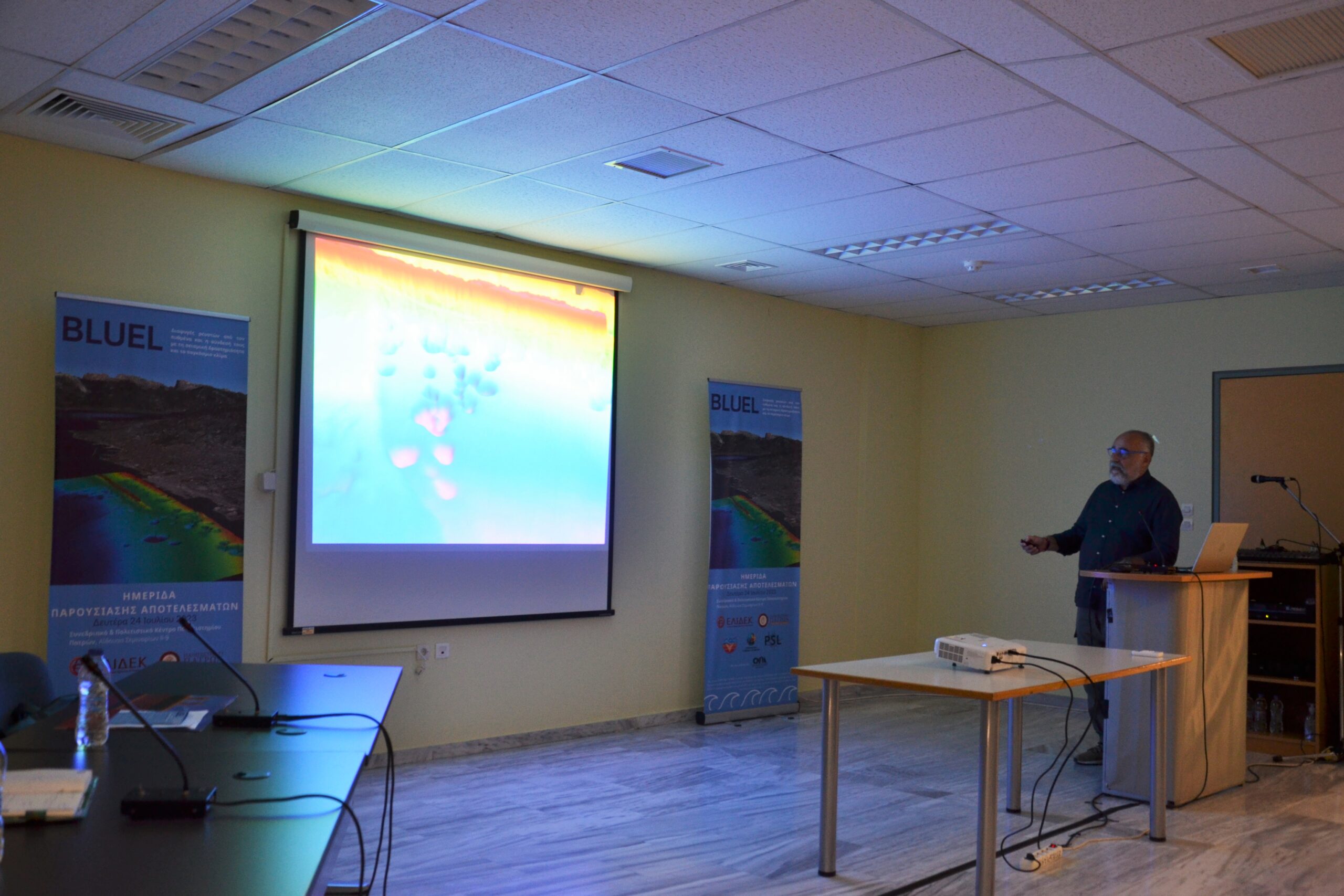
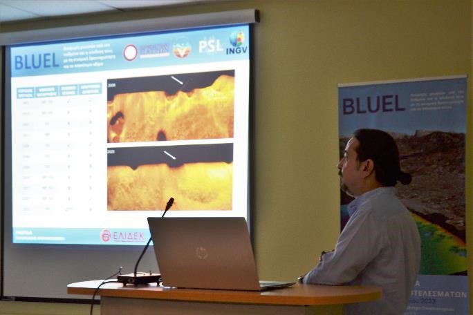
Mr. Papatheodorou returned to the podium, to elaborate on the installation of optical fiber in the field of craters. The optical fiber, connected to a DTS (Distributed Temperature Sensing) system, carries a light signal that, when it encounters distortion, is scattered, conveying the scattering information on its return. The more intense the scattering coefficient, the more intense the temperature change. Fiber optics were used to record the bubbles exiting the pockmarks, as these have a very different temperature profile than the water column.
Initially, an experimental application of the system was carried out in the area of Katakolo, with great success. Thus, the optical fiber was placed parallel to the fault of Ag. Triada, with its end inside a pockmark. The temperature change was measured per minute, per 0.5m for 1.5 years and the optical fiber of approximately 200m length yielded 323,000,000
temperature samples, which were analyzed in a Matlab environment and were subjected to spatiotemporal visualization by H. Fakiris, Ph.D. of the Dept. of Geology. Due to gaps between measurements, the CLEAN algorithm was used and spectral analysis was performed.
From the spectral analysis, the temperature during the winter months appeared to be the same inside and outside the pockmark, while during the summer and spring months, the outside temperature was warmer, regardless of pockmark depth. The spectral analysis diagrams showed that the vast majority of changes are due to natural processes, such as tides, seasonality, etc., while wind speed and precipitation did not show any correlation with temperature changes. High-frequency “noise” was observed, which may be an important finding. Data from the Seismology Laboratory confirmed that the noise, which appeared on two occasions in the charts, was associated with seismic activity.
According to Mr. Papatheodorou, further study of the data is required, while the optical fiber system seems to easily and successfully detect temperature changes during seismic activity. The DTS observatory will remain in place for a long time, with the aim of long-term monitoring. “It is one of the largest experiments to record physical parameters in a marine area of special interest and its correlation with seismic activity, but equally important is the fact that a very good collaboration has been built among the laboratories of the Department of Geology, with the aim of obtaining unprecedented knowledge”.